386,000 ha
of tree cover lost between 2001 and 2023, a 12% drop since 2000. Source: Global Forest Watch.
Forest protection for Kenya
Satellite alerts catch illegal clearing in days, not years. Trained community rangers respond on the ground. Native trees return the land to life, and push the desert back.
What we lose
386,000 ha
of tree cover lost between 2001 and 2023, a 12% drop since 2000. Source: Global Forest Watch.
~80%
of Kenya's land is arid or semi-arid, so every lost tree matters more. Source: World Bank, UNDP.
19%
of the Mau Forest Complex's tree cover lost from 2001 to 2022, in Kenya's largest water tower. Source: Global Forest Watch.
Kenya's five water towers (Mount Kenya, the Aberdares, the Mau Complex, the Cherangani Hills and Mount Elgon) are the catchments for most of its rivers. Figures are rounded and drawn from Global Forest Watch data as reported by The Standard and Mongabay.
How it works
01
Satellite imagery flags new clearing inside protected blocks within days and drops a pin on the map.
02
Local rangers are alerted on their phones, verify on foot, and log evidence you can see in your dashboard.
03
Native seedlings are planted and tended by nearby communities, who are paid for every tree that survives.
Drag the handle to compare.
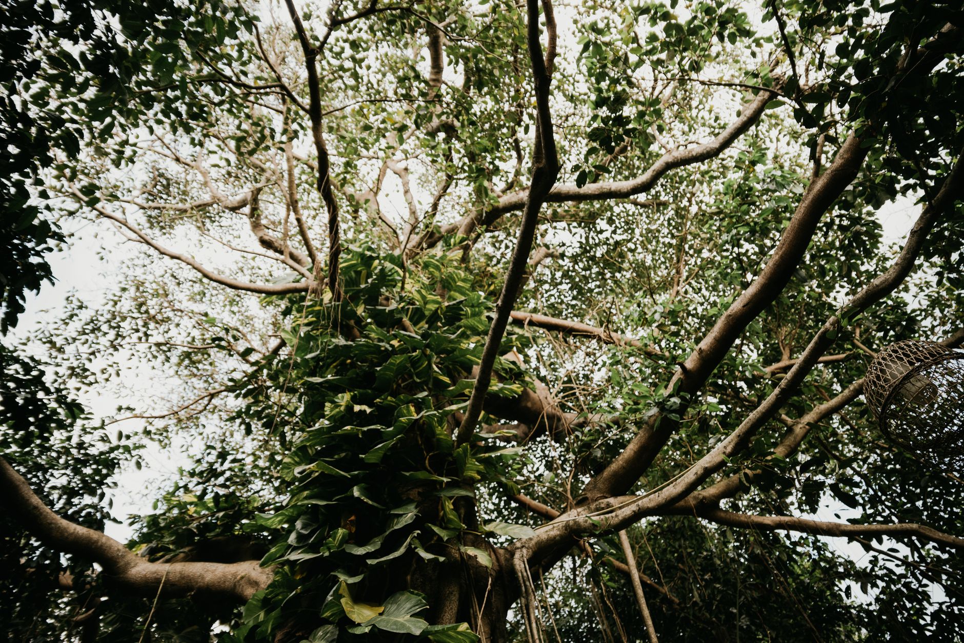
With Msitu Watch
Canopy intact, rivers running.
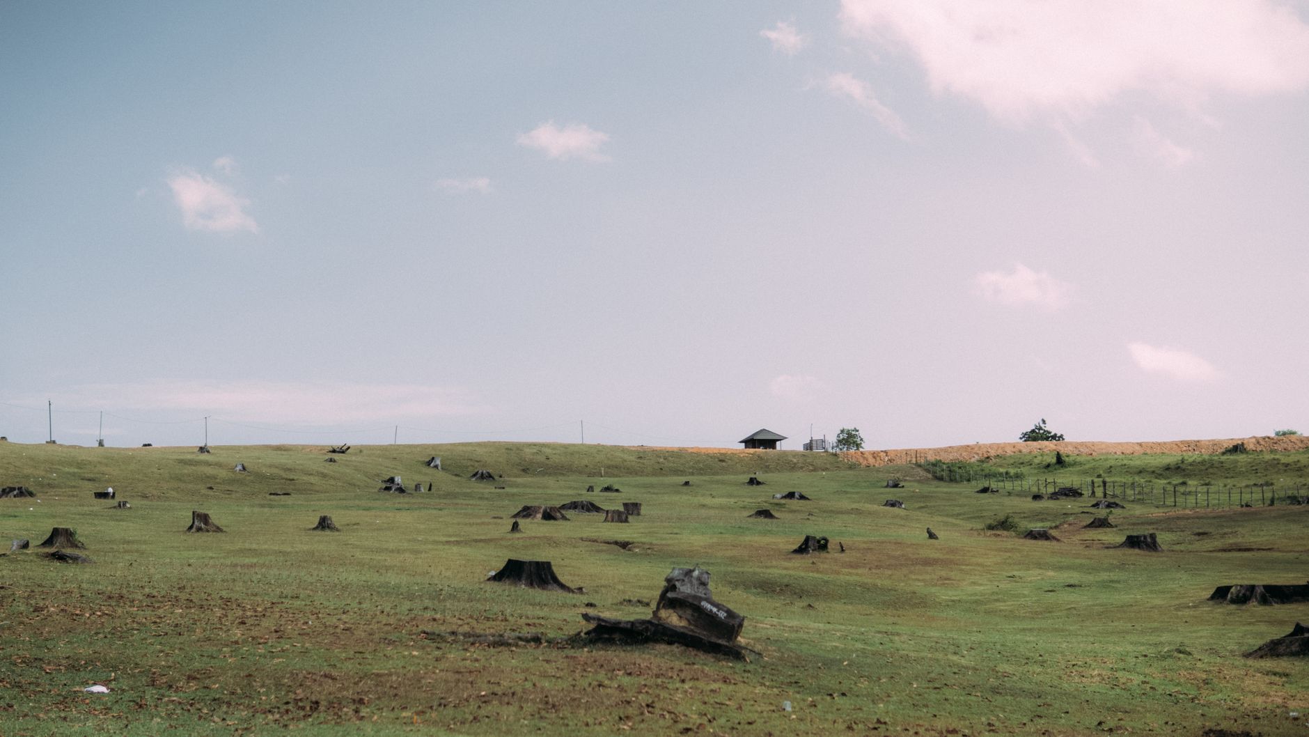
Without
Bare soil, dry riverbeds.
Pick a plan. Track your forest block on a live map and see every ranger patrol.
KES 300/mo
Fund 10 native trees a month. Monthly impact report.
Choose SeedlingMost chosen
KES 1,500/mo
Help protect a hectare. Live map and ranger patrol feed.
Choose GroveKES 7,500/mo
Protect 100+ hectares. For companies and counties.
Talk to usOne-time or recurring, whatever suits you. Every shilling goes to rangers and seedlings.
Four things donors ask first